No elevation data
| Name: | No data |
| Distance: | No data |
| Minimum elevation: | No data |
| Maximum elevation: | No data |
| Elevation gain: | No data |
| Elevation loss: | No data |
| Duration: | No data |

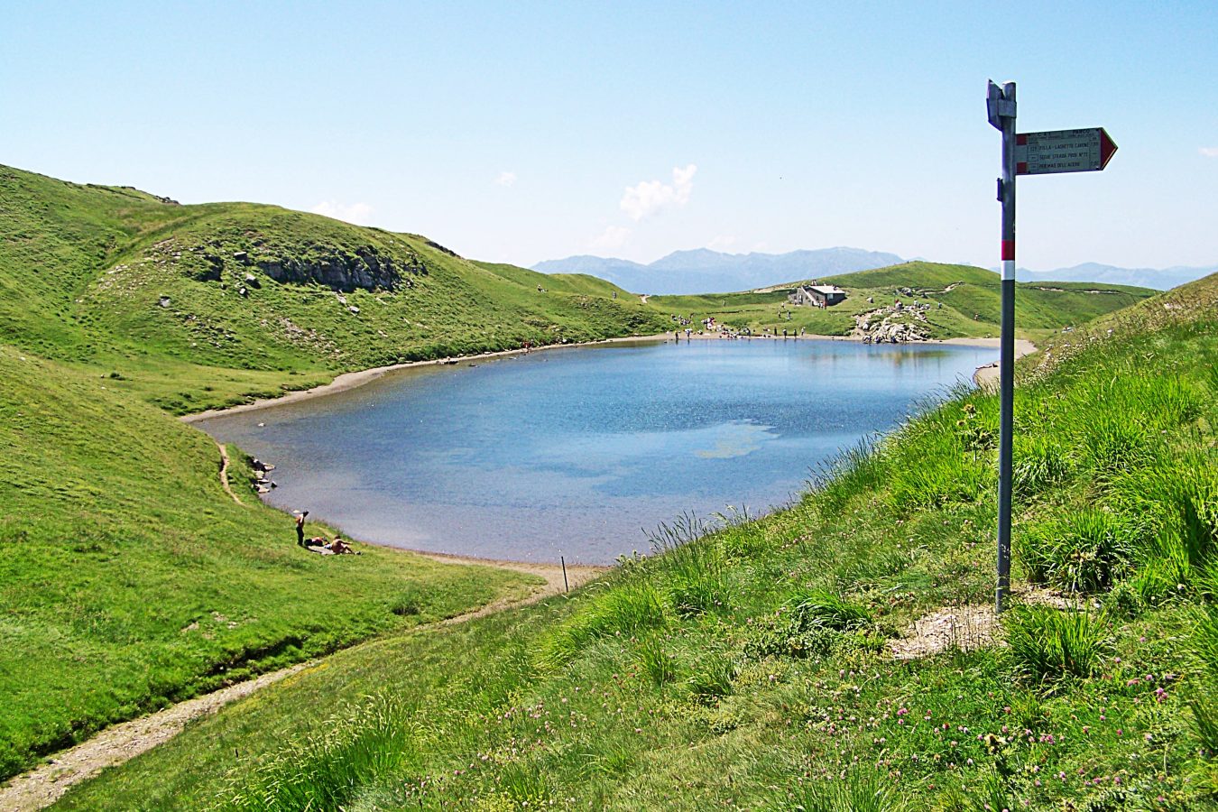
The Capanno Tassoni – Lago Scaffaiolo ring is a circular hiking route 13.5 km long and 750 meters in altitude, located in the Tuscan-Emilian Apennines National Park. The route starts from Rifugio Capanno Tassoni, at an altitude of 1,450 metres, and climbs up to Lake Scaffaiolo, at an altitude of 1,752 metres. From here, the route descends to Passo del Vallone, at an altitude of 1,666 metres, and then goes back up to Rifugio Capanno Tassoni. The route is well signposted and presents no technical difficulties. However, it is advisable to wear trekking shoes and have a minimum amount of training.
Key data
Length: 13.5 km
Difference in altitude: 750 metres
Travel time: 4-5 hours
Difficulty: E
Recommended period: from May to October
Departure: Capanno Tassoni refuge (1,450 m)
Direction: Scaffaiolo Lake
Path:
From the Capanno Tassoni refuge, follow the CAI 006 path towards Lago Scaffaiolo.
2. The path gradually climbs through a beech and fir forest.
3. After about 2 hours of walking, you reach Lake Scaffaiolo, a natural lake of glacial origin.
Stop: Scaffaiolo Lake (1,752 m)
Direction: Passo del Vallone
Path:
From Lake Scaffaiolo, follow the CAI 006 path towards Passo del Vallone.
2. The path gradually descends through a beech forest.
3. After about 1 hour of walking, you reach Passo del Vallone, a mountain pass located at an altitude of 1,666 metres.
Stop: Vallone Pass (1,666 m)
Direction: Rifugio Capanno Tassoni
Path:
From Passo del Vallone, follow the CAI 006 path in the direction of Rifugio Capanno Tassoni.
2. The path gradually climbs through a beech and fir forest.
3. After about 2 hours of walking, you reach the Capanno Tassoni refuge, the starting point of the route.
The Capanno Tassoni – Lago Scaffaiolo ring is an easy and panoramic hiking route, which offers the opportunity to admire the beauty of the Tuscan-Emilian Apennines National Park.