No elevation data
| Name: | No data |
| Distance: | No data |
| Minimum elevation: | No data |
| Maximum elevation: | No data |
| Elevation gain: | No data |
| Elevation loss: | No data |
| Duration: | No data |

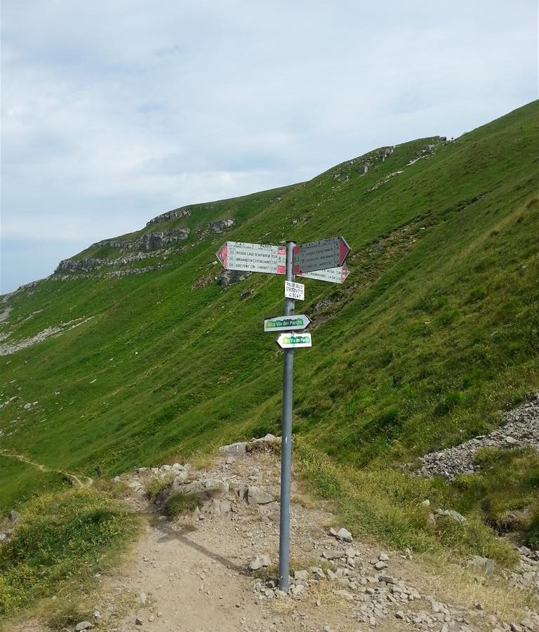
The route starts from Passo dello Strofinatoio, located at 1,760 m above sea level, and heads towards Lake Scaffaiolo, located at 1,775 m above sea level. The first stretch of the route is relatively easy, with some ups and downs and some dirt sections. After about 10 km, you reach the Rifugio La Capanna, where you can take a break. From here, the route begins to climb more steeply, until reaching the Porticciola Pass, located at 2,010 m above sea level. From the pass, you can admire a splendid view of the surrounding mountains, including Monte Cimone, Monte Cimone della Frigna and Monte Rondinaio. After the Porticciola Pass, the route begins to descend towards Lake Scaffaiolo. The descent is technical and demanding, but offers breathtaking views of the lake and surrounding mountains.
The route ends at Lake Scaffaiolo, where you can stop to relax and admire the landscape.
Key data
Length: 28.5 km
Difference in altitude: 1,300 m
Travel time: 6-7 hours
Difficulty: medium-high
Advice
The route is recommended for cyclists with a good level of training.
It is important to wear a helmet and other safety equipment.
In case of bad weather, the route can be dangerous.
Variants
It is possible to shorten the route by shortening the initial stretch, up to Rifugio La Capanna.
It is possible to extend the route by climbing to Monte Cimone.
The Passo dello Strofinatoio – Lago Scaffaiolo route is a challenging but rewarding experience, which offers cyclists the opportunity to admire some of the most beautiful landscapes of the Tuscan-Emilian Apennines.