No elevation data
| Name: | No data |
| Distance: | No data |
| Minimum elevation: | No data |
| Maximum elevation: | No data |
| Elevation gain: | No data |
| Elevation loss: | No data |
| Duration: | No data |

The Cutigliano – Doganaccia – Passo Calanca – Lago Scaffaiolo – Passo Croce Arcana – Doganaccia – Cutigliano (with cable car) route is a hiking route of approximately 25 km in length and 1,500 meters of altitude difference, located in the Tuscan-Emilian Apennines National Park. The route starts from Cutigliano, in the province of Pistoia, and climbs up to Lake Scaffaiolo, at an altitude of 1,752 metres. From here, the route descends to Passo Croce Arcana, at an altitude of 2,051 metres, and then goes back up to Cutigliano. The route is well signposted and presents some technical difficulties, especially in the section that goes up to Passo Croce Arcana. However, it is advisable to wear trekking shoes and have a minimum amount of training.
Key data
Length: 25 km
Difference in altitude: 1,500 metres
Travel time: 7-8 hours
Difficulty: EE
Recommended period: from May to October
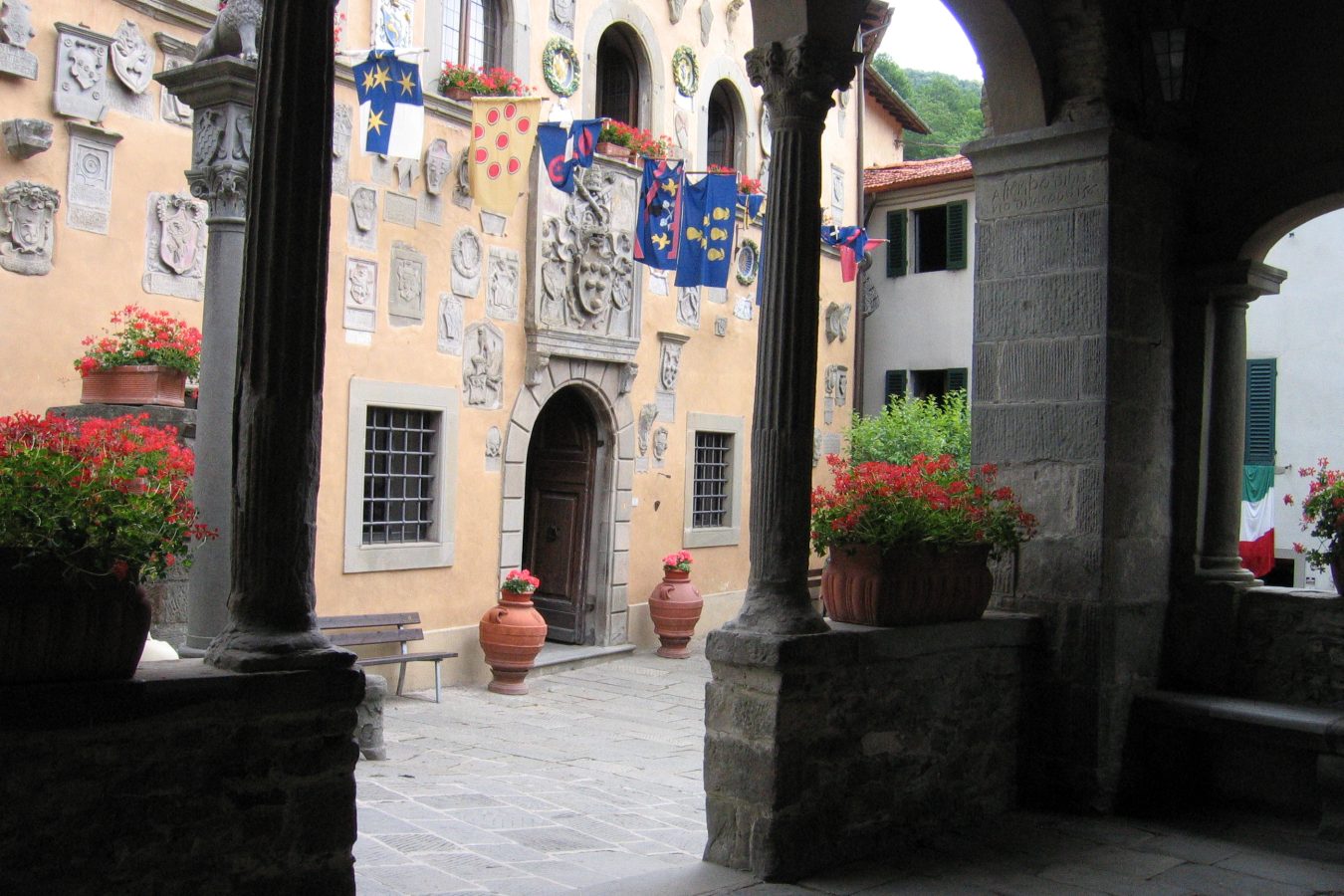
Departure: Cutigliano (660 m)
Direction: Doganaccia
1. From Cutigliano, follow the CAI 006 path towards Doganaccia.
2. The path gradually climbs through a beech and fir forest.
3. After about 2 hours of walking, you reach Doganaccia, a ski resort located at an altitude of 1,600 metres.
Direction: Calanca Pass
1. From Doganaccia, follow the CAI 006 path towards Passo Calanca.
2. The path gradually climbs through a beech and fir forest.
3. After about 2 hours of walking, you reach Passo Calanca, a mountain pass located at an altitude of 1,892 metres.
Direction: Scaffaiolo Lake
1. From Passo Calanca, follow the CAI 006 path towards Lago Scaffaiolo.
2. The path gradually descends through a beech and fir forest.
3. After about 1 hour of walking, you reach Lake Scaffaiolo, a natural lake of glacial origin.
Direction: Passo Croce Arcana
1. From Lake Scaffaiolo, follow the CAI 00 path towards Passo Croce Arcana.
2. The path gradually climbs through a beech and fir forest.
3. After about 2 hours of walking, you reach Passo Croce Arcana, a mountain pass located at an altitude of 2,051 metres.
Direction: Cutigliano
1. From Passo Croce Arcana, follow the CAI 00 path in the direction of Cutigliano.
2. The path gradually descends through a beech and fir forest.
3. After about 4 hours of walking, you reach Cutigliano, the starting point of the route.
The Cutigliano – Doganaccia – Passo Calanca – Lago Scaffaiolo – Passo Croce Arcana – Cutigliano route (with cable car) is a challenging hiking route, which offers the opportunity to admire some of the most beautiful landscapes of the Tuscan-Emilian Apennines. The route is recommended for expert hikers, with good physical training.