No elevation data
| Name: | No data |
| Distance: | No data |
| Minimum elevation: | No data |
| Maximum elevation: | No data |
| Elevation gain: | No data |
| Elevation loss: | No data |
| Duration: | No data |

The route from Doganaccia to Rifugio Duca degli Abruzzi is an easy and panoramic excursion that takes place in the Tuscan-Emilian Apennines Regional Park. The path starts from the Doganaccia car park, in the Cutigliano area, and gradually climbs into the woods until it reaches the Apennine ridge. From here, continue along the ridge to the refuge, which offers a spectacular view of the surrounding mountains.
Technical information
Length: 10.5 km
Difference in altitude: 600 m
Difficulty: easy
Travel time: 3-4 hours
How to get
By car, you can reach Doganaccia in about 1 hour and 30 minutes from Pistoia. Follow the provincial road SP324 in the direction of Bologna and turn left at the crossroads for Cutigliano. Continue until the Doganaccia car park, which is on the left.
Alternatively, you can reach Doganaccia with the Abetone-Cutigliano cable car.
Advice
We recommend wearing comfortable, waterproof trekking shoes.
It is important to bring enough water and food with you.
In case of bad weather, it is advisable to consult the weather report before leaving.
Itinerary
The route starts from the Doganaccia car park, where there is a sign indicating path 00. Follow the path in the woods, which gradually climbs until reaching a crossroads. Take the path on the right, which continues to climb into the woods.
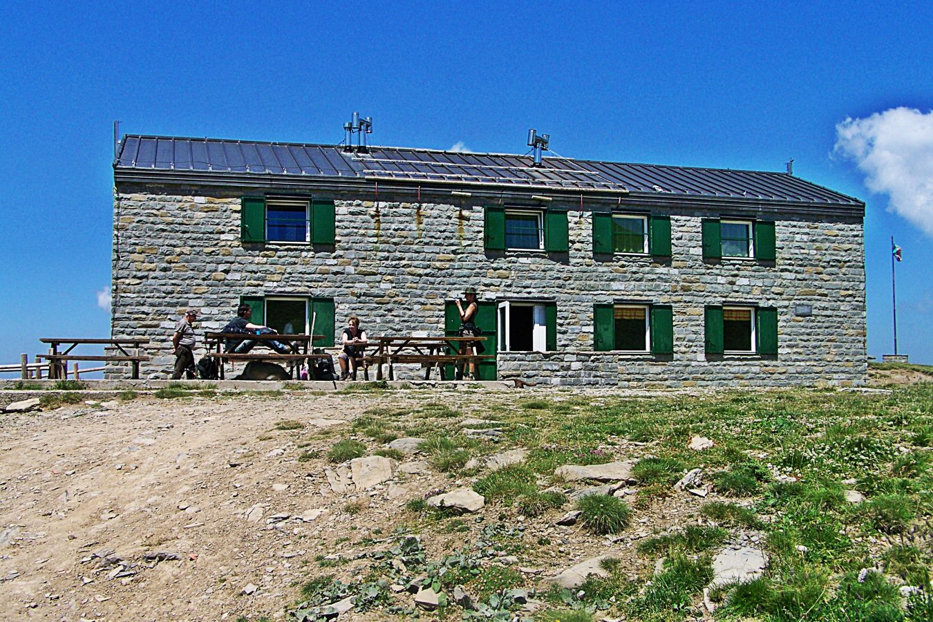
After about 2 hours of walking, you reach the Calanca pass. From here, continue along the ridge until you reach the Duca degli Abruzzi refuge, which is about a 15-minute walk away.
The refuge is open from June to September and offers spectacular views of the surrounding mountains.