No elevation data
| Name: | No data |
| Distance: | No data |
| Minimum elevation: | No data |
| Maximum elevation: | No data |
| Elevation gain: | No data |
| Elevation loss: | No data |
| Duration: | No data |

The route from Rifugio Montanaro to Lake Scaffaiolo is a medium-high difficulty excursion that takes place within the Pistoiese Mountain Regional Park. The total difference in altitude is approximately 1,200 metres, with a challenging ascent that requires good training.
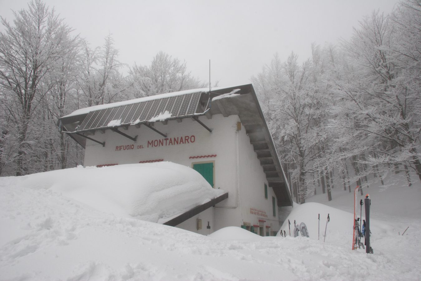
The route starts from Rifugio Montanaro, located at 1,050 meters above sea level. Follow the forest road that climbs towards Monte Montalbano, passing through the locality of Le Pianacce. After about 4 km, you reach the Croce di Montalbano, a panoramic point from which you can admire a broad view of the Bisenzio valley.
From here, the route continues in the direction of Passo Tre Termini, following a path that winds through the woods. The path is well signposted and does not present particular difficulties.
At Passo Tre Termini, the route forks. To reach Lake Scaffaiolo, you must follow the CAI 00 path, which climbs towards Monte Spigolino. The path is quite steep and has some exposed sections.
After about 2 hours of walking, you reach Monte Spigolino, at 1,827 meters above sea level. From here, you can admire a splendid view of the Reno valley and the Tuscan-Emilian Apennines chain.
From Monte Spigolino, the route continues in the direction of Lago Scaffaiolo, following the CAI 00 path. The path is less steep than the one that leads to Monte Spigolino, but still has some challenging sections.
After about 1 hour of walking, you reach Lake Scaffaiolo, at 1,778 meters above sea level. The lake is located in a splendid valley surrounded by mountains, and is an ideal place for a picnic or a refreshment stop.
The return to Rifugio Montanaro takes place along the same route as the outward journey.
Technical information
Length: 18km
Difference in altitude: 1,200 metres
Difficulty: medium-high
Travel time: 7-8 hours
Recommended period: spring, summer, autumn
Advice
We recommend wearing trekking shoes suitable for the terrain.
It is important to bring enough water and food with you for the entire duration of the excursion.
In case of bad weather, it is advisable to postpone the excursion.
Variation of the route
The route can be made more challenging and scenic by following the CAI 00E path, which goes up to Monte Cupolino. The path is quite steep and has some exposed sections, but offers a breathtaking view of the Reno valley and the Tuscan-Emilian Apennines chain.
If you choose this variant, the total difference in altitude increases to 1,400 meters, and the travel time to 9-10 hours.